Measuring surface heat
PUBLICATION DATE: August 14, 2024
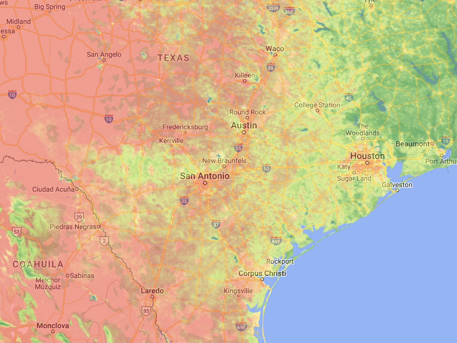
Working in tandem with the on-staff meteorology team, I developed an interactive map that used raster imagery captured by the MODIS instrument aboard the Terra satellite to visualize the average nighttime surface temperatures on a daily basis from April 1 to September 30 in the San Antonio metropolitan area and allow users to see how warm the land surfaces. See additional images of the story here.
Link to article.

Most Dangerous Holidays for Driving
PUBLICATION DATE: May 23, 2024
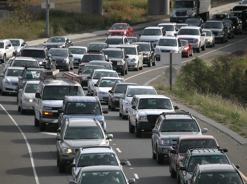
I was able to acquire a large cache of crash data from Texas DOT and examine the number of injuries and fatalities that occurred during the major holiday weekends of the year: New Year's, Memorial Day, July 4th, Labor Day, Thanksgiving, and Christmas. I interviewed officer Nick Soliz with the San Antonio Police Department and visualized my findings. See additional images of the story here.
Link to article.

Hill Country Development
PUBLICATION DATE: May 2, 2024
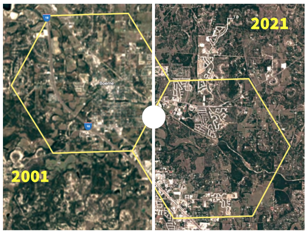
I used National Land Cover Data to assess the increase in impervious cover in the Texas Hill Country, with a focus on the I-35 Corridor between Austin and San Antonio. As expected, the towns and cities along that road have been building at a faster rate than the rest of the region.
See additional images of the story here.